 Big Thicket and Lake Bryan
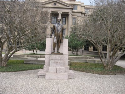
Well, it is past time for a report on my travels. I’ve been hoping for something dramatic to happen, but alas, my life has been pretty bland. Since last time I’ve traveled from College Station to Temple, then Rhome, back to Temple and now to Lumberton. I had a nice visit with my son, Jon, and Mom and Dad. For the last few days I’ve been visiting my brother Shawn and sister-in-law Susan in Lumberton. It has been great to see them and they’ve graciously allowed me to hang around for a couple of extra days while I wait on the predicted wintry weather to pass. The much delayed front finally passed today, so hopefully it will begin to warm up soon. Though the forecasters keep talking about sleet, snow and ice, the worst part so far as been rain. Unfortunately, it looks like the moisture will hang on for another day or two.
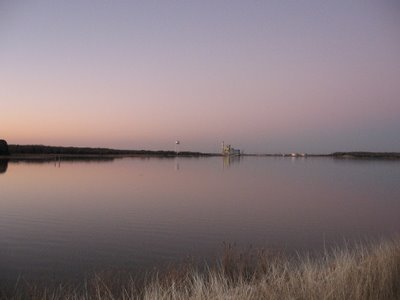

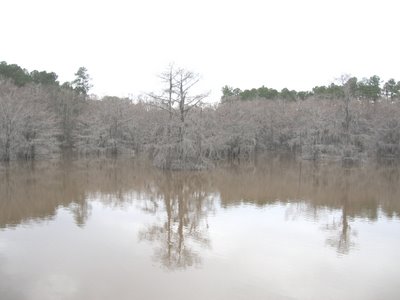
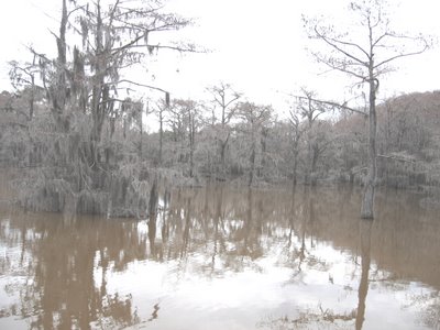
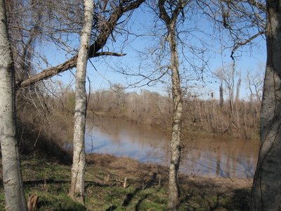
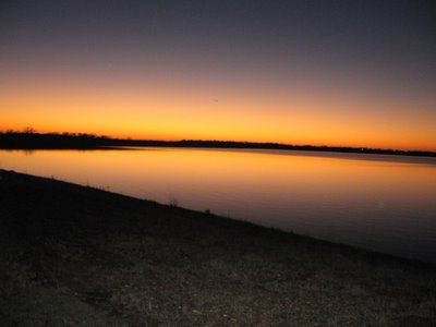
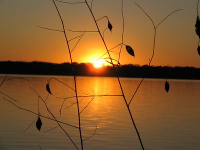
I did manage to do some hiking around Lake Bryan(near College Station) and take the top pictures of the sunset there, and the above of the lake before sunset.
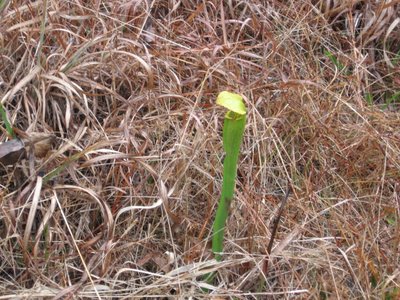
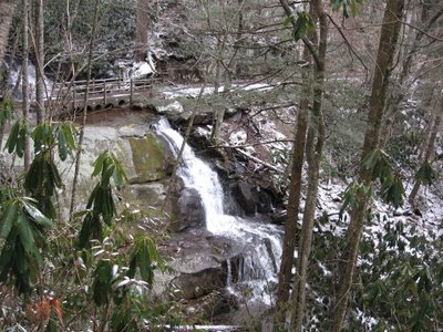
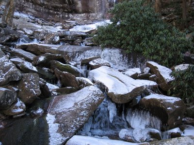
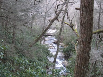
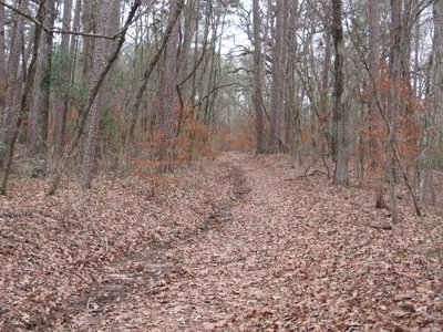
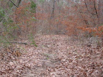
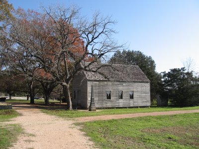
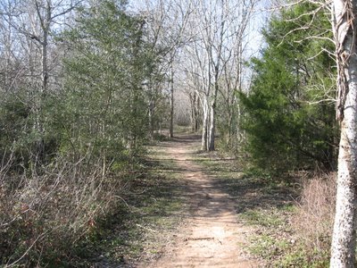
Also, today I was able to manage short hikes in the Big Thicket National Preserve. The picture above is from the Sundew trail. Four of the five known carnivorous plants are located in the big thicket. One is the sundew, so naturally I thought I might see a sundew on this trail. Not so, although I did spot the pitcher plant shown(another carnivorous plant). Large areas of the Big Thicket are under water a significant amount of the time, which leaches the nutrients out of the soil. The carnivorous plants make up for the deficiency by trapping and digesting insects with enzymes similar to our stomach acid.
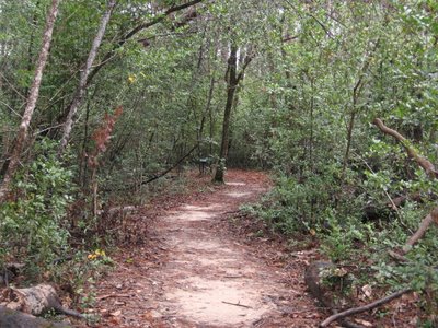
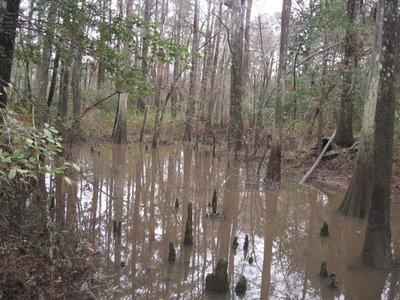
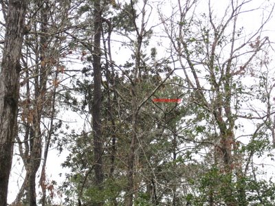
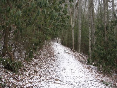
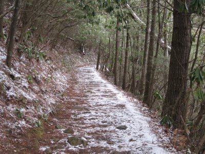
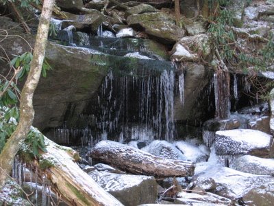
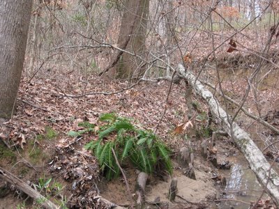
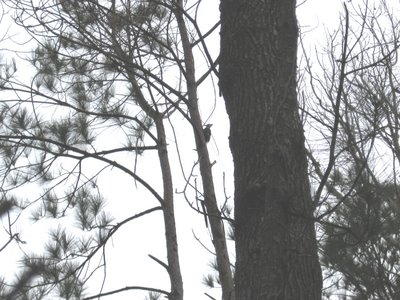
I also visited the Kirby nature trail. This trail, as with the Big Thicket in general, is known for it’s diversity of vegetation. Apparently, this is a result of the glaciers pushing down from the north, east and west during the last ice age. There is everything from cactus to cherry trees here, as well a bay, gum, cypress, holly, palmetto, magnolia and several varieties of pine and oak. Above are cypress knees, roots which protrude above the water. No one knows why they do this, but speculation includes gathering additional oxygen for submerged roots and acting as a balance to support the tree in soft soil. I’ve also included a fuzzy picture of a red cockaded woodpecker. If you’ve read my blog you’ll know I’ve become fixated on photographing one of the numerous red headed woodpeckers I’ve seen...they just seem to be something you would see in the Amazon. You'll have to open and and zoom in a few steps to see him, just to the left and a bit above the word I've inserted. The trail guide I have says that woodpeckers are the most plentiful birds in the preserve, perhaps more so since there are a great number of dead and dying trees in the area due to hurricane Rita.
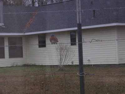
In the ironic department, I’m told they regularly see redheaded woodpeckers in the trees in Shawn’s yard. Also, as I returned from about 5 miles of hiking today I spotted this painted bunting on the fence in their yard when I parked my car. This bird is featured prominently in the Big Thicket brochure I have, with beautiful red, green and purple plumage. I took this picture through the window of my car, but of course it flew away when I tried to get out of my car to take a better picture. I also saw this pileated woodpecker in a short walk around the property.
Anyway, I hope to shortly get in some backpacking in Big Thicket and move on to Caddo Lake, Mount Magazine State Park in the Petit Jean valley of Arkansas, the Natchez trace in Tennessee and the Great Smokey Mountains National Park.

 Alum Creek
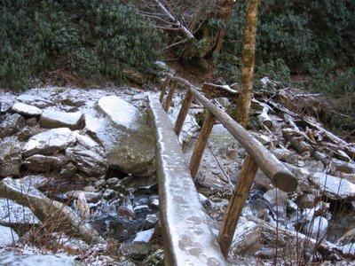
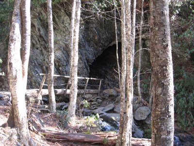 Foot Bridge over the Alum Creek with Cave in Background
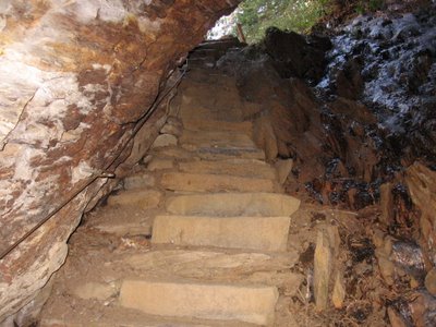 Steps through tunnel in rock
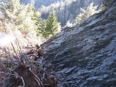
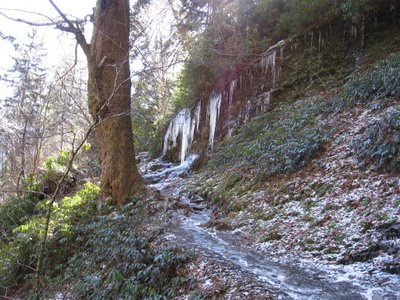 Trail to Alum Bluff
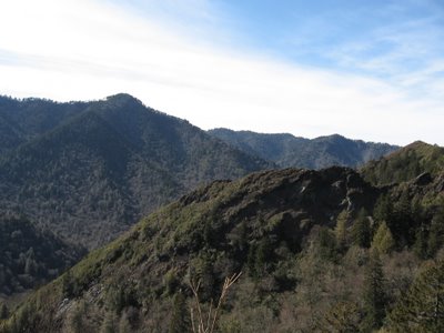
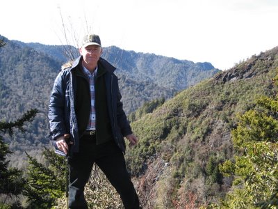 Yours Truly at Inspiration Point
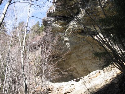 Alum Bluff from Trail below
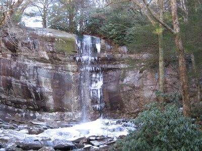
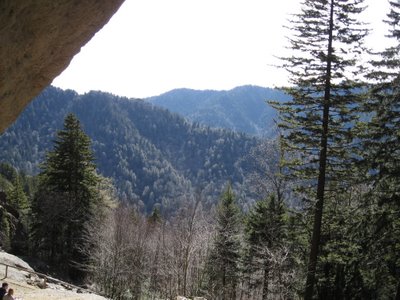 View from Alum Bluff
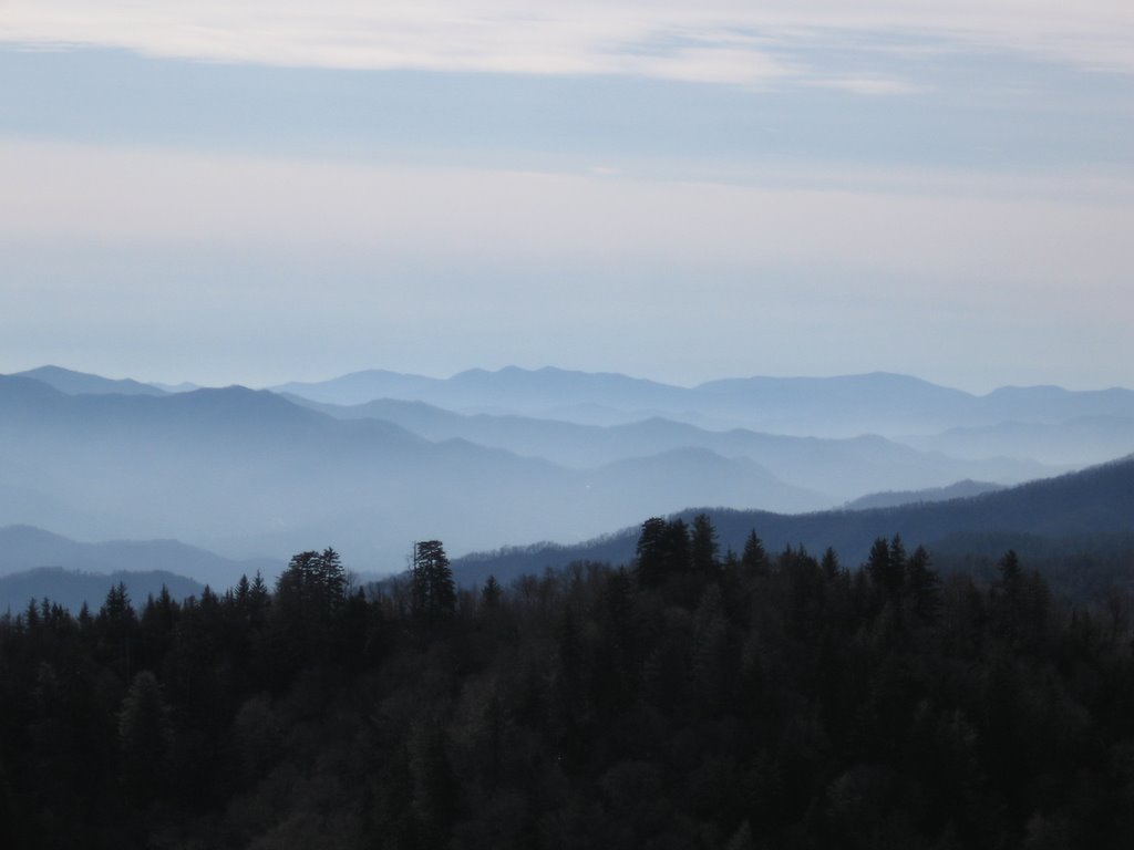
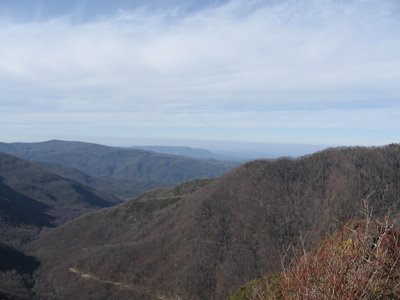
 Trail between Alum Bluff and Mt LeConte
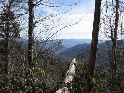